


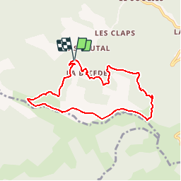


13.6 km | 21 km-effort

User


FREE GPS app for hiking
 SityTrail
IGN / Geographical institutes
SityTrail World
The world is yours!
Trail Walking of 7.6 km to be discovered at Occitania, Gard, Les Plantiers. This trail is proposed by tracegps.
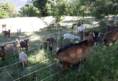
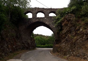
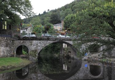
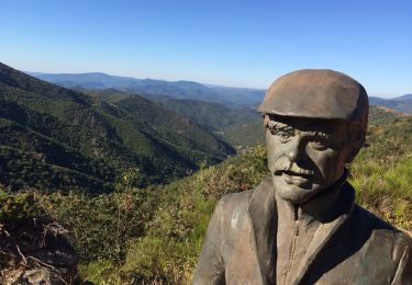
Circuit proposé par l'Office de Tourisme de la Vallée Borgne. Le sentier de la Palombe est un témoignage vivant de l'histoire des Cévennes. Des éleveurs continuent en effet de faire paître des troupeaux qui, naturellement, façonnent un paysage très ouvert. Le parcours emprunte également la célèbre draille de la Margeride. Départ Après le mas de Lauta, prendre une route en lacets et se garer au poteau indiquant « La Bécède » La pochette de 15 circuits balisés est en vente (5€) à l’Office de Tourisme de la Vallée Borgne. L’Office de Tourisme est ouvert toute l'année. Vous trouverez sur place de quoi se restaurer et dormir.


Walking
Walking
Walking
Walking

Walking

Walking
On foot
Walking
Walking